
Survey Drones
Survey Drones
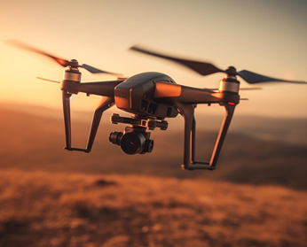
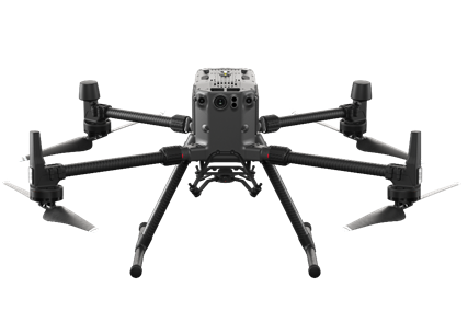
Survey mapping drones utilize aerial technology equipped with high-resolution cameras and GNSS receivers to efficiently collect geospatial data for creating detailed maps and models of terrain, infrastructure, and landscapes. Survey Lab (SCEE) NICE has following drone:
1 x Phantom 4
Survey Drones