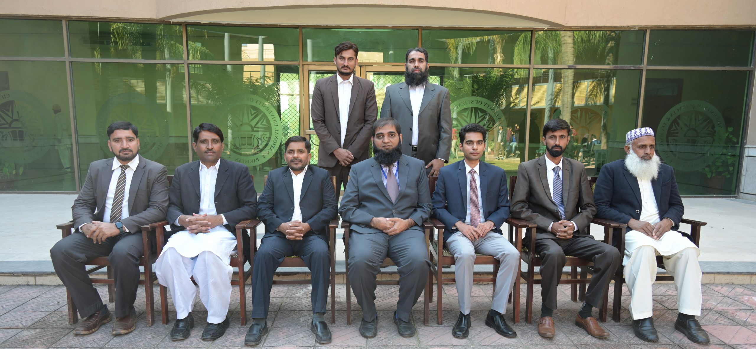
Survey Department
The Department of Survey is amongst the pioneer departments of NUST Institute of Civil Engineering (NICE). All the affairs of the survey team are run and administered under the supervision of the Head of Department (HoD). The NICE Department of Survey is currently imparting Engineering Surveying education to the undergraduate students of not only Civil Engineering but also other disciplines such as Environmental Engineering, Geographical Information Systems (GIS). Presently, it is not offering any postgraduate courses but it is envisaged that in the near future, the postgraduate courses of Surveying with special emphasis on modern techniques will be introduced as well.
The Survey Lab which is being run under the NICE Department of Survey is one of its kind that is successfully operating in Pakistan. It is equipped with state-of-the-art modern Surveying gadgetry such as Total Stations, geodetic quality based Global Navigation Satellite System (GNSS) receivers, Digital Levels, Digi System, Construction Laser Level, Licensed Mapping Software etc.
In collaboration with the Survey of Pakistan, the Survey Training Institute of the Survey of Pakistan, SUPARCO and the Army Survey Group, the NICE Department of Survey organizes frequent study visits and guest speaker lectures to broaden the knowledge of the undergraduate students regarding different commercial and research projects carried out by the above mentioned organizations/institutes. Meanwhile, as the NUST H-12 campus is still under development, the NICE Department of Survey provides continuous Land Survey support to NUST Administration in the planning and execution of various campus expansion projects. For carrying out these projects, the NICE Department of Survey has established its own Baseline and numerous permanent control stations throughout the NUST H-12 campus.
A unique distinction of NICE Department of Survey is its dynamic field training activity which is visible throughout the year in the campus. As survey training support is being provided to a number of Institutes at campus, therefore field work is done on all working days to accommodate their requirements. Extensive training is imparted to students in handling of modern instruments and later on processing of field data on mapping software in the lab followed by printing of maps.
The topography of our campus provides a variety of landscape to perform all the required practical survey tasks under realistic field conditions. There are reasonably high ridges, deep nullahs and other land features which provide ideal conditions for carrying out triangulation, traversing, road alignments, bridge gap measurements, setting out of buildings/sewers/highway curves and making of topographic maps, etc.

Head of Department Message
Associate Professor Dr. Muhammad Usman
We are dedicated to equipping aspiring Civil Engineers, GIS Engineers, and Environmental Engineers with top-notch survey knowledge and skills, preparing them for diverse professional challenges. Our curriculum seamlessly integrates classic and modern survey techniques, starting with hands-on training using basic instruments for manual field measurements, computation, and plotting. As students progress, they engage with state-of-the-art survey equipment, employing cutting-edge software for data processing and map creation.
Our graduates are adept at all surveying tasks required for any modern civil engineering project. Practical training is a focal point, with an emphasis on precision and accuracy. Field visits to construction sites provide real-world exposure, and guest speakers share valuable industry experiences. Our Survey Lab holds certification from the Survey of Pakistan under the Ministry of Defense for commercial surveys, reflecting our unwavering commitment to quality and precision. Join us in shaping the future of surveying with efficient and accurate solutions.


